Mississippi River Flight - Day Five - Part Two
Morehouse, Missouri to Brookhaven, Mississippi
|
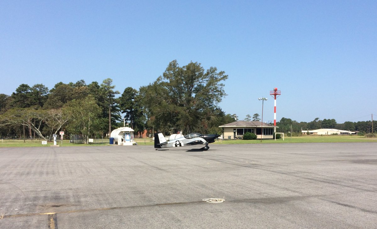
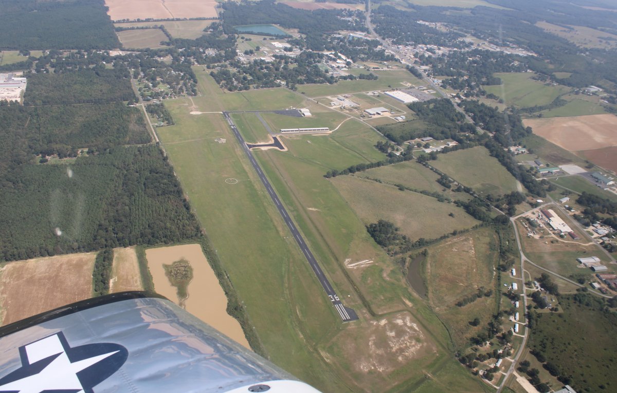
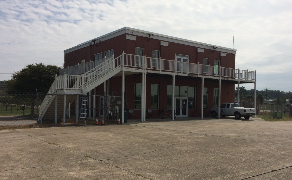
| Parked on the ramp at Morehouse Memorial Airport (KBQP) in Bastrop, Louisiana. The self-serve pump had an excellent avgas price: $3.25. Some guys were working in one of the big hangars but other than that the airport was pretty much deserted. |
| |
 |
|
|
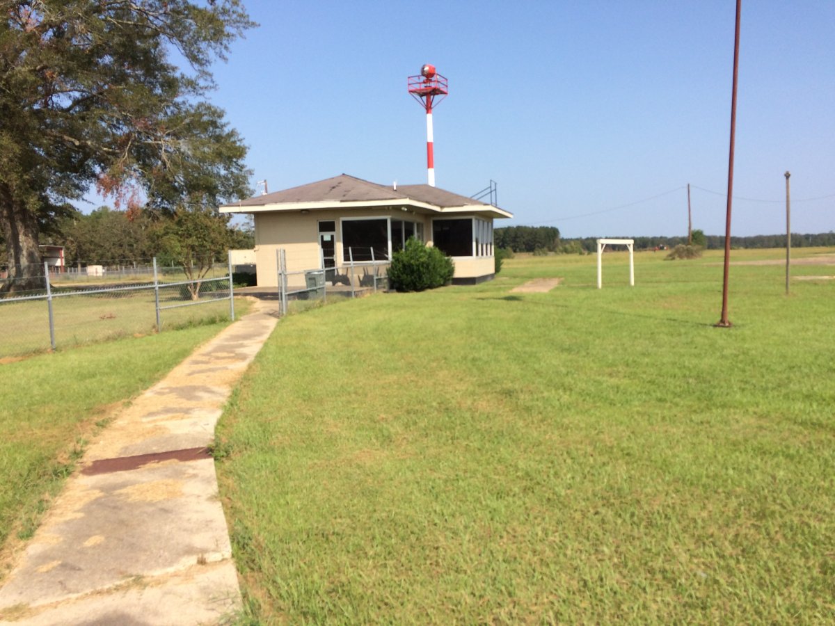
I crashed for an hour on a couch in the FBO building. Yanked and banked a little too hard over the White River.
|
| |
 |
|
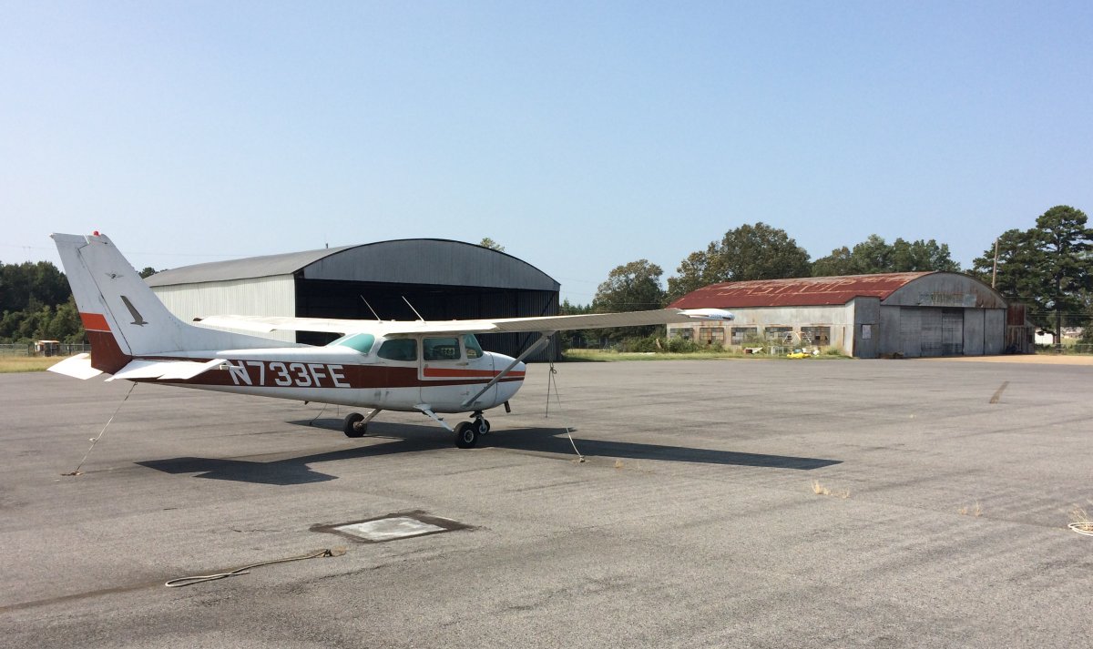
| This Cessna 172 had a flat tire. |
| |
 |
|
|
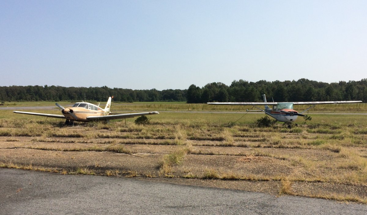
These two planes are in pretty bad shape; I doubt they will ever fly again.
|
| |
 |
|
| Heading east back to the river, I was shocked by how hazy the air had become. |
| |
 |
|
| Passing by Kelly-Dumas Airport in Oak Grove, Louisiana. |
| |
 |
|
|
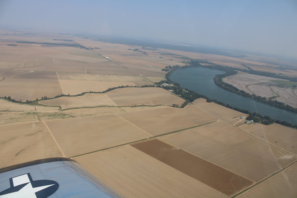
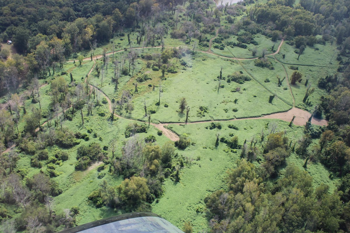
Looking north over the big farm fields.
|
| |
 |
|
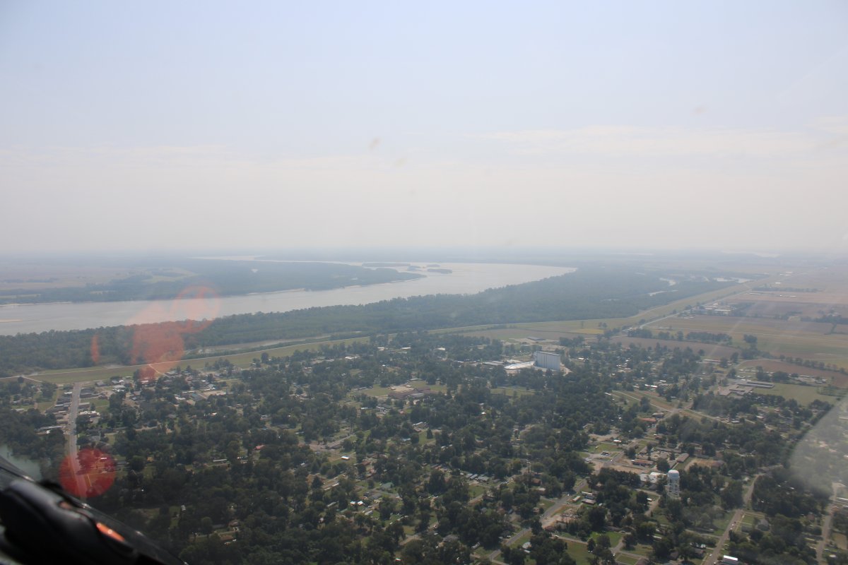
| Passing over the town of Lake Providence about to hit the river. |
| |
 |
|
|
|
| |
 |
|
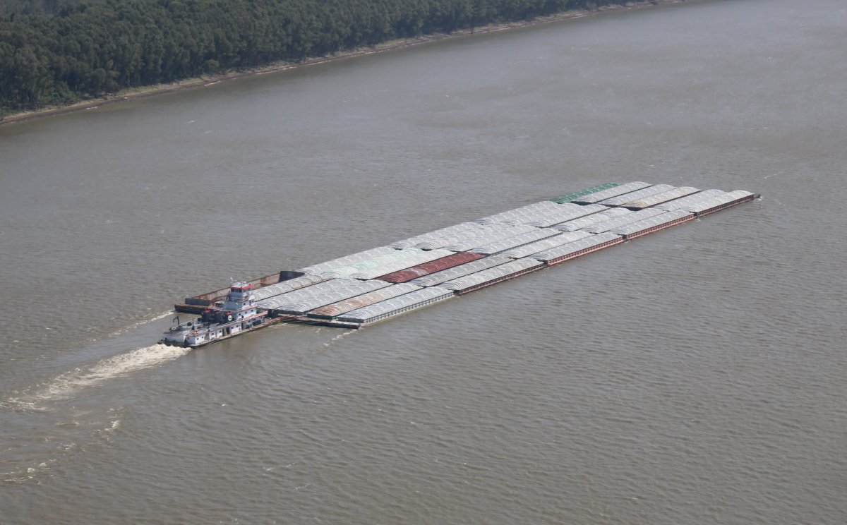
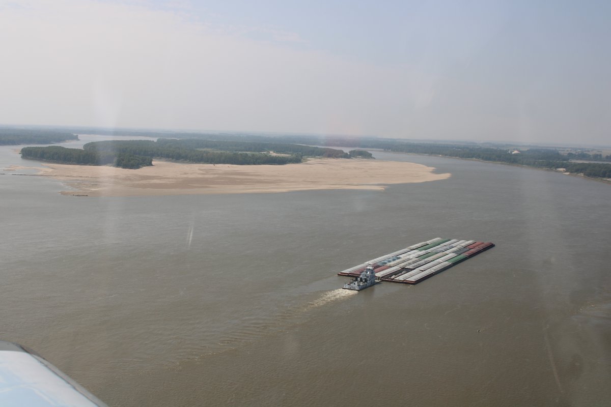
| A 30-banger. |
| |
 |
|
| A giant 35-banger rounding the bend. 35 was the most I would see on the river. |
| |
 |
|
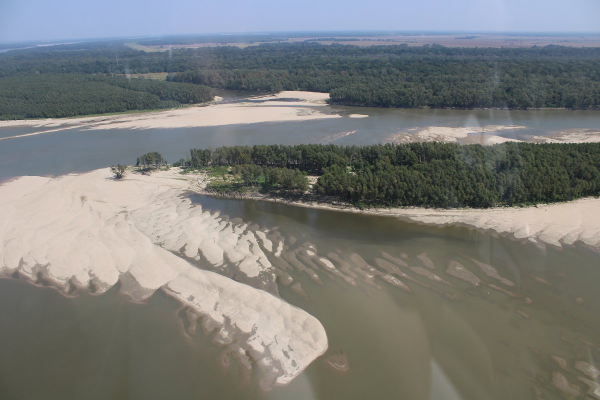
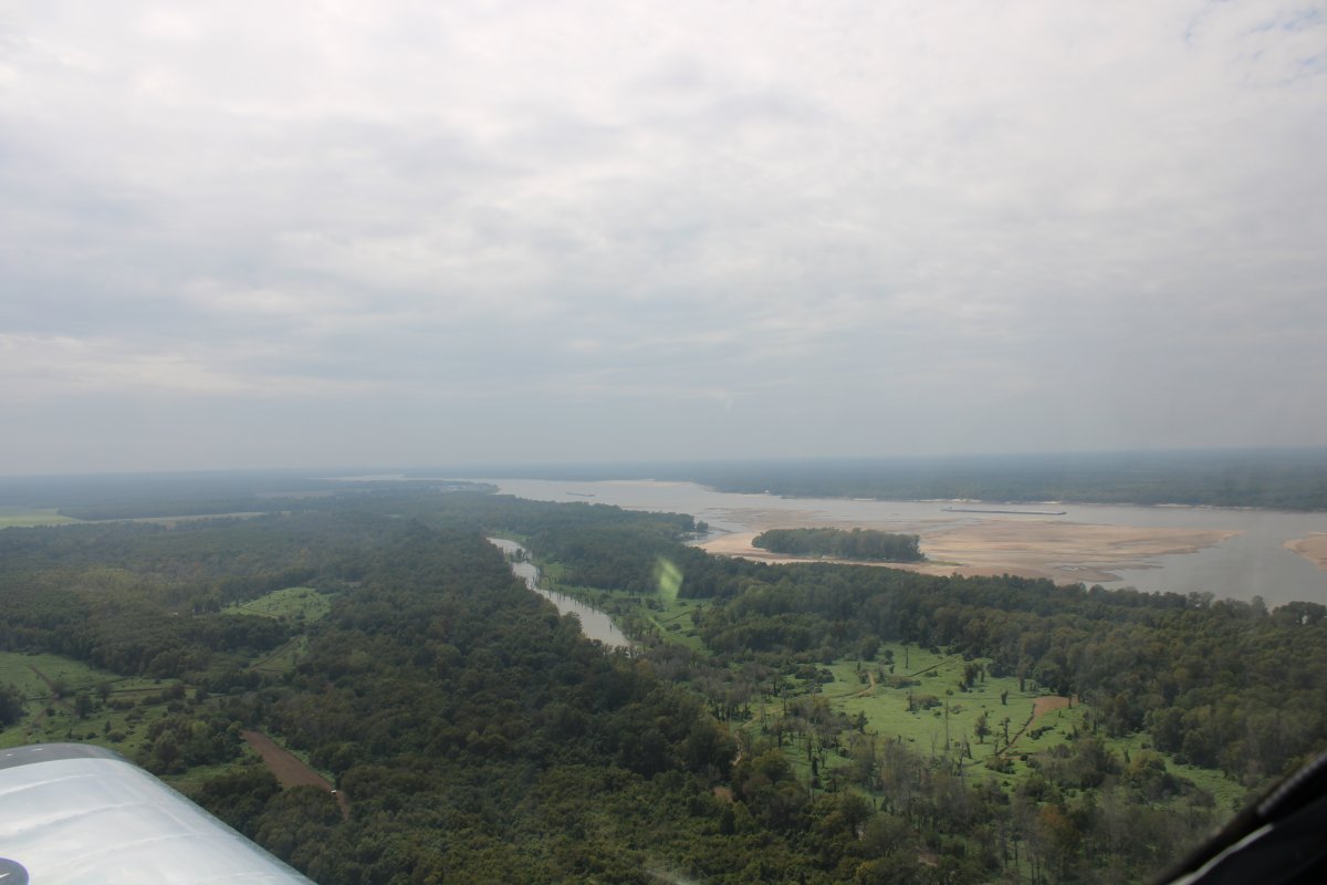
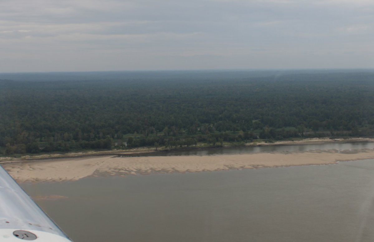
| A huge island in the river with Mississippi on one side and Louisiana on the other side. |
| |
 |
|
|
Passing by Vicksburg Tallulah Regional Airport on the Louisiana side of the river.
|
| |
 |
|
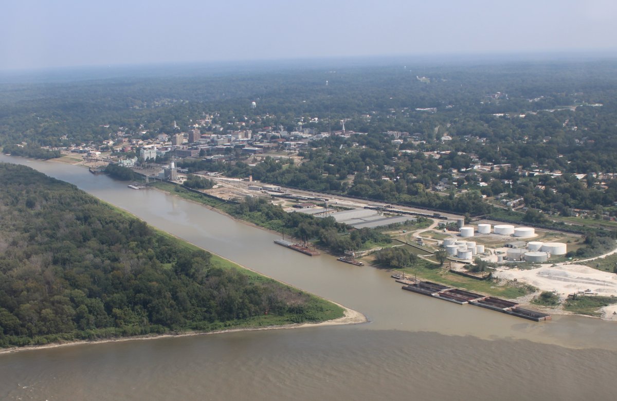
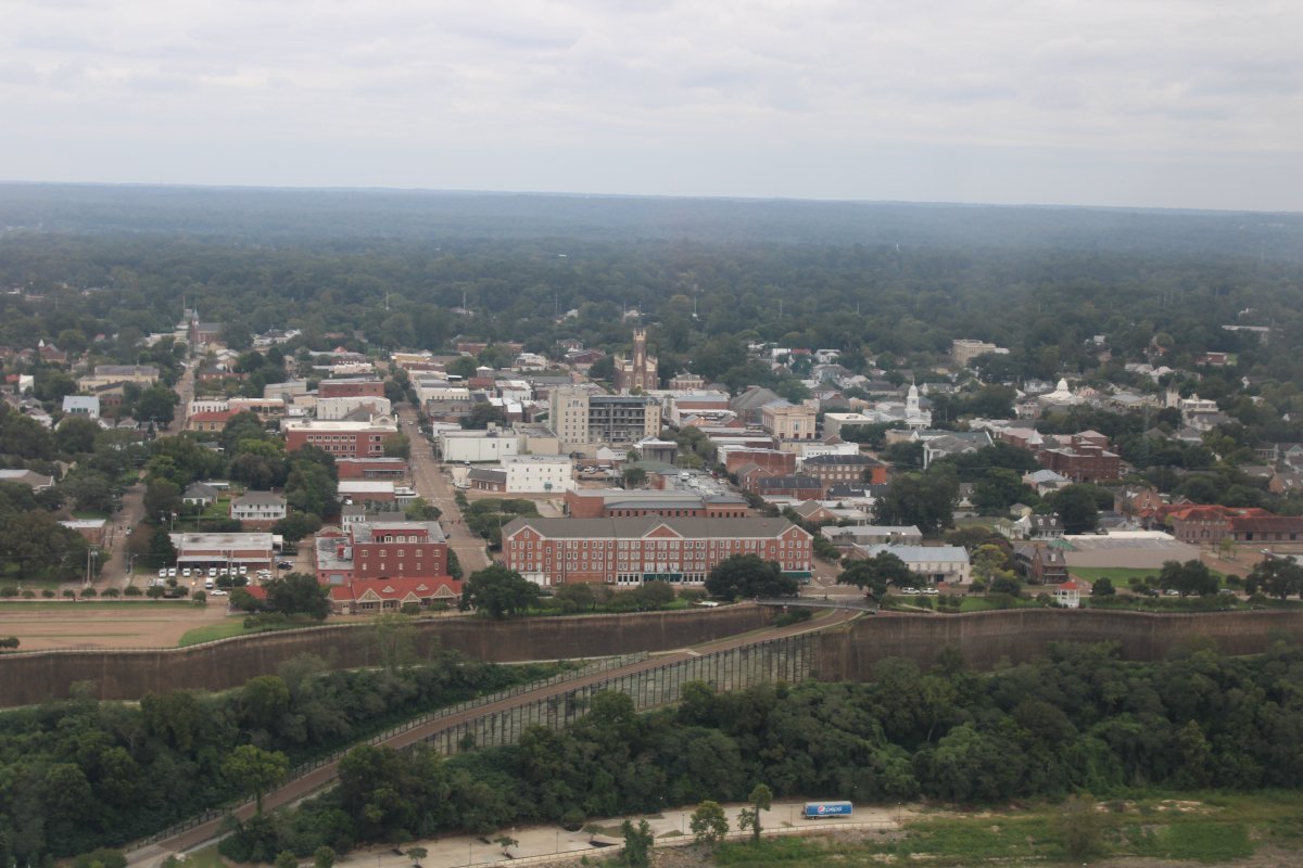
| Approaching Vicksburg. |
| |
 |
|
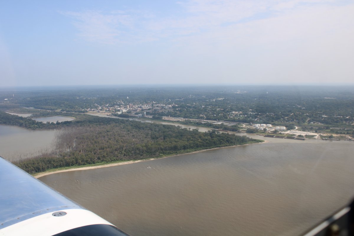
A closer look at Vicksburg which surprised me because the main part of the river seems to be on the Yazoo River, not the Mississippi. I thought it was located atop a high bluff overlooking the Mississippi River
You can see the confluence of the Yazoo and Mississippi River very well in this picture.
|
| |
 |
|
|
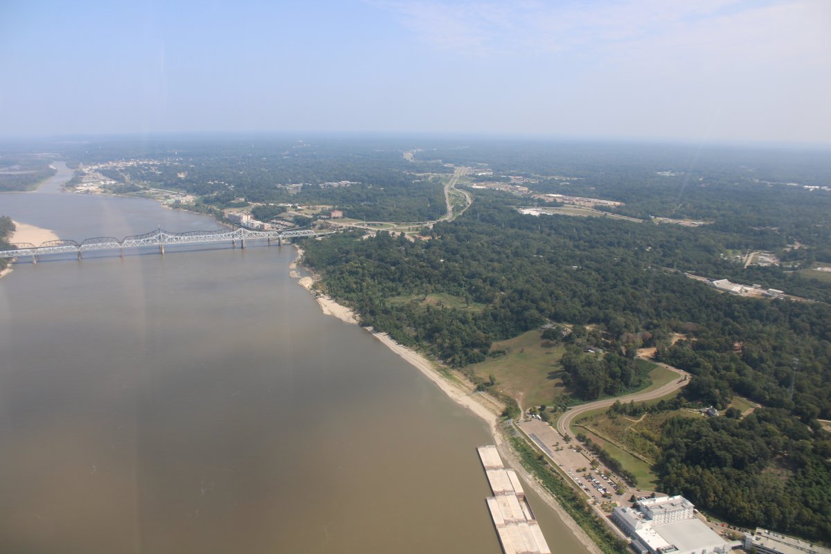
Further south was the high bluffs part I was interested in, because I thought that would be where the South had the guns to control river traffic up and down the river.
I was interested in Vicksburg because it was such a strategic spot during the Civil War. When Grant finally captured it on July 4, 1863 after months of campaigning and a 43-day seige, it along with Gettysburg marked the turning point of the Civil War in the Union's favor. It cut off the Trans-Mississippi Department (containing the states of Arkansas, Texas and part of Louisiana) from the rest of the Confederate States, effectively splitting the Confederacy in two for the rest of the war.
Vicksburg does have numerous things to see concerning the 1863 Vicksburg campaign -- Vicksburg Battlefield Museum, Pemberton's Headquarters, Vicksburg National Military Park, the Railroad Redoubt, South Fort -- I'll have to come back sometime and spend a day or two here.
|
| |
 |
|
|
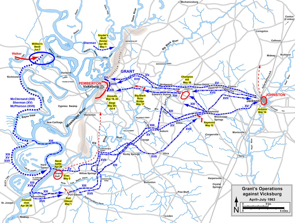
Battle map of the Vicksburg campaign by Hal Jespersen, who is a professional cartographer of Civil War topics. See his web site: Link.
Vicksburg truly was a combined Army-Navy operation. Grant worked closely and well with Rear Admiral David Dixon Porter during the campaign. The Navy transported and supplied the Union troops on the Mississippi. One of the keys to victory was when Porter ran his boats past the Vicksburg guns at night.
|
| |
 |
|
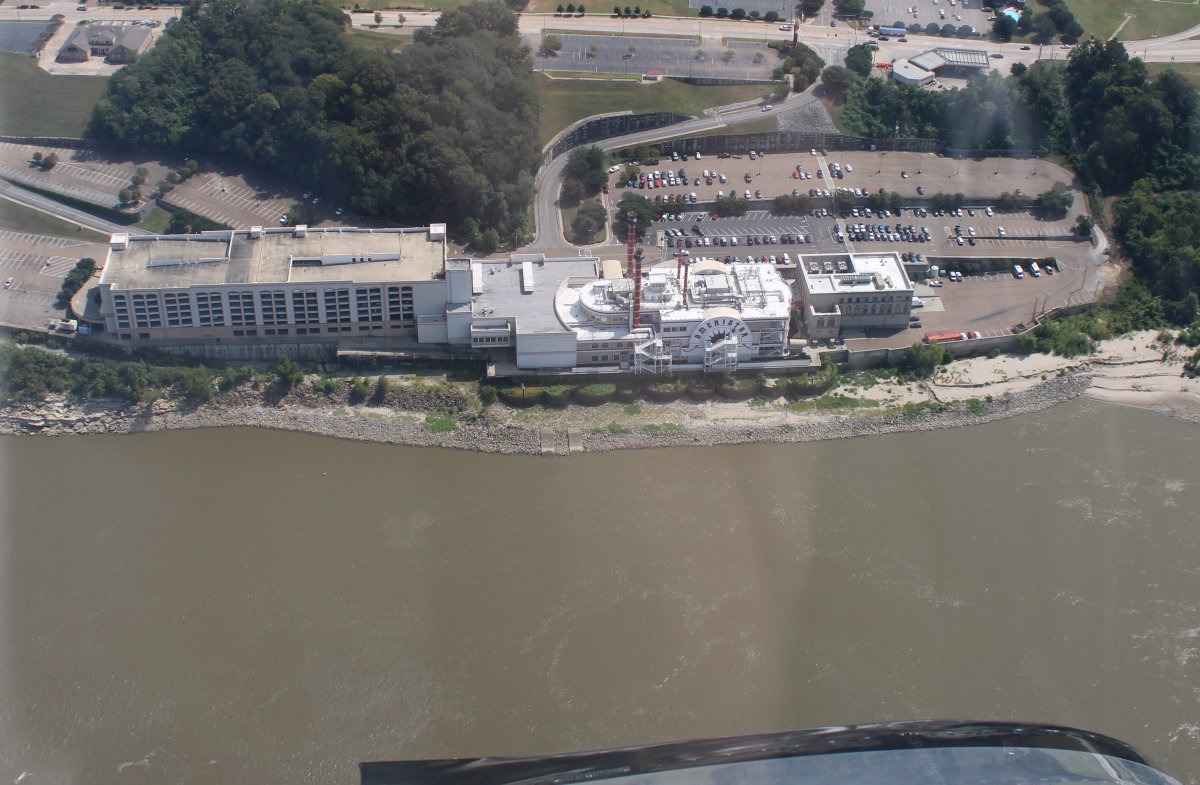
| The Ameristar Casino HOtel. |
| |
 |
|
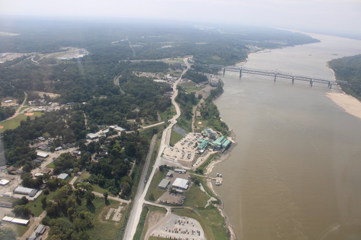
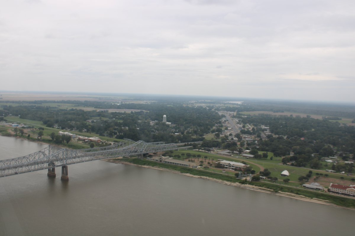
| Looking south down the river. |
| |
 |
|
|
There is a civil war gun in the center of the picture, at the Mississippi River overlook.
|
| |
 |
|
|
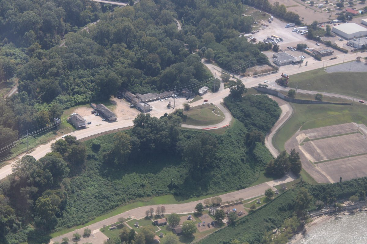
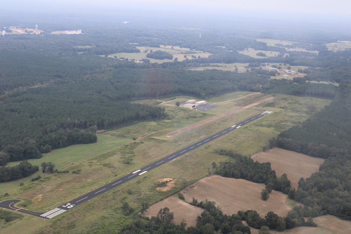
A little further down the river is the Vicksburg Municipal Airport. I decided to land, stretch my legs, and maybe go into town to get something to eat if they had a courtesy car.
|
| |
 |
|
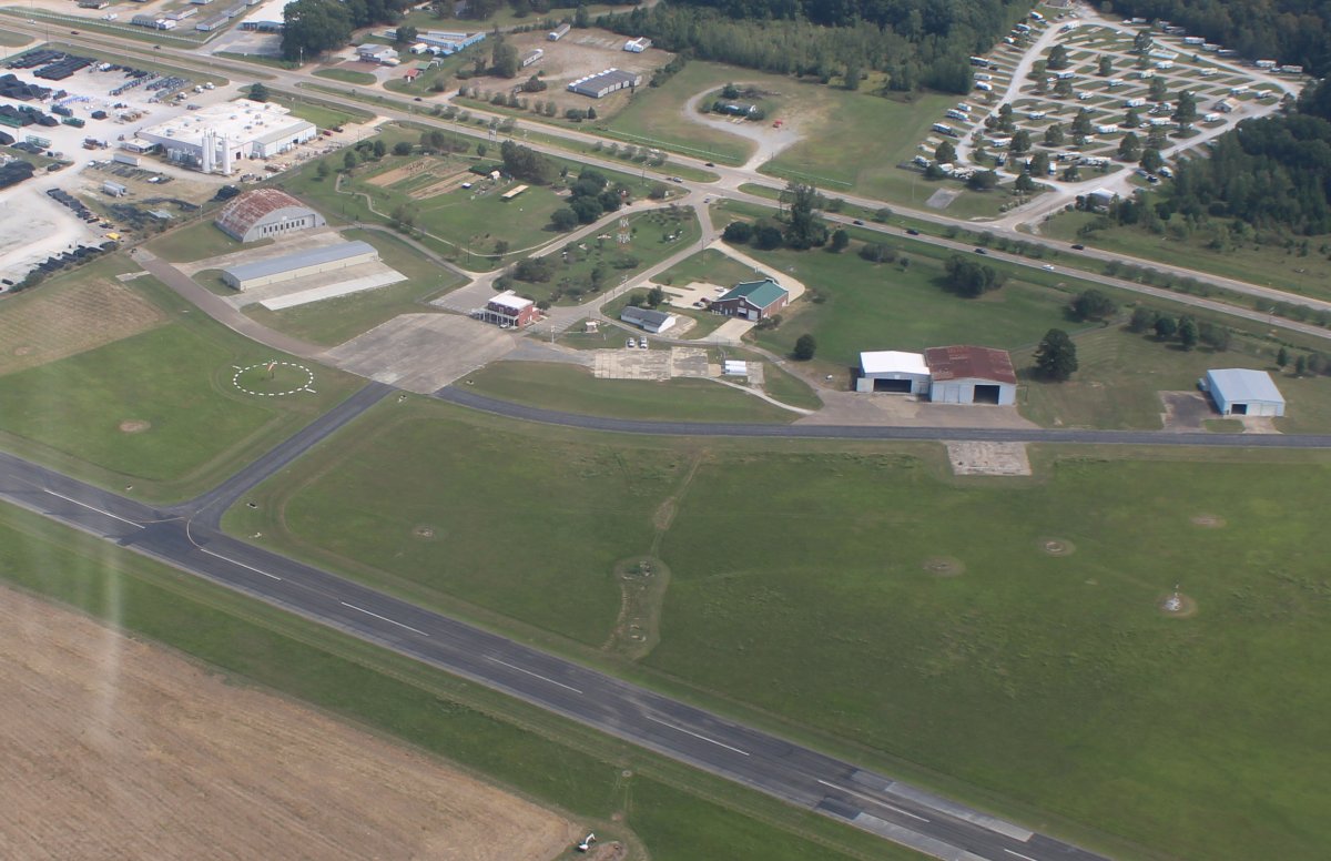
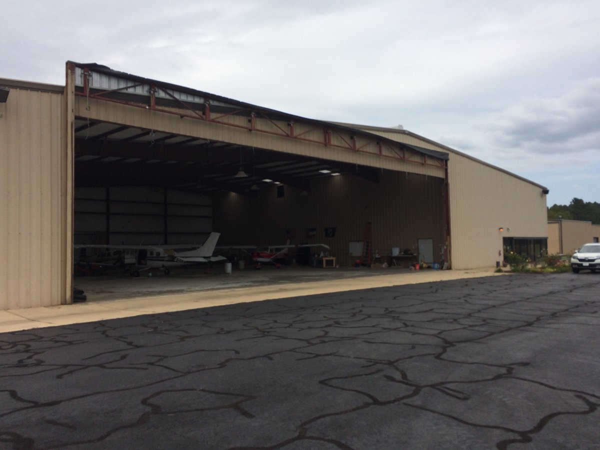
| The FBO building at Vicksburg Muni. It was very nice inside. But this was a Sunday and no one was around. If there was a courtesy car, I did not see the keys for it. I checked iPhone for messages, relaxed for a few minutes, and then hit the road. |
| |
 |
|
| Back on the river. Notice that the sky is clouding up. |
| |
 |
|
| P32 |
| |
 |
|
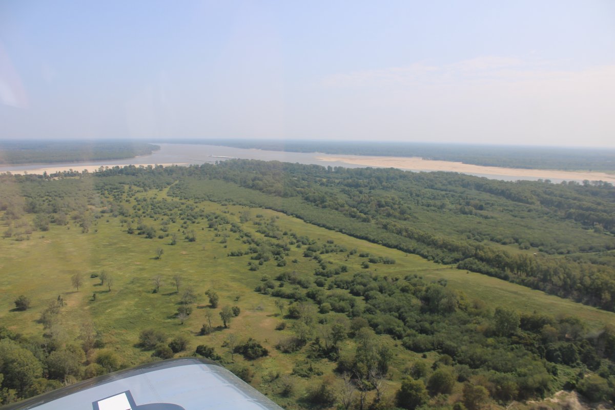
| Lots of trees in west Mississippi. |
| |
 |
|
|
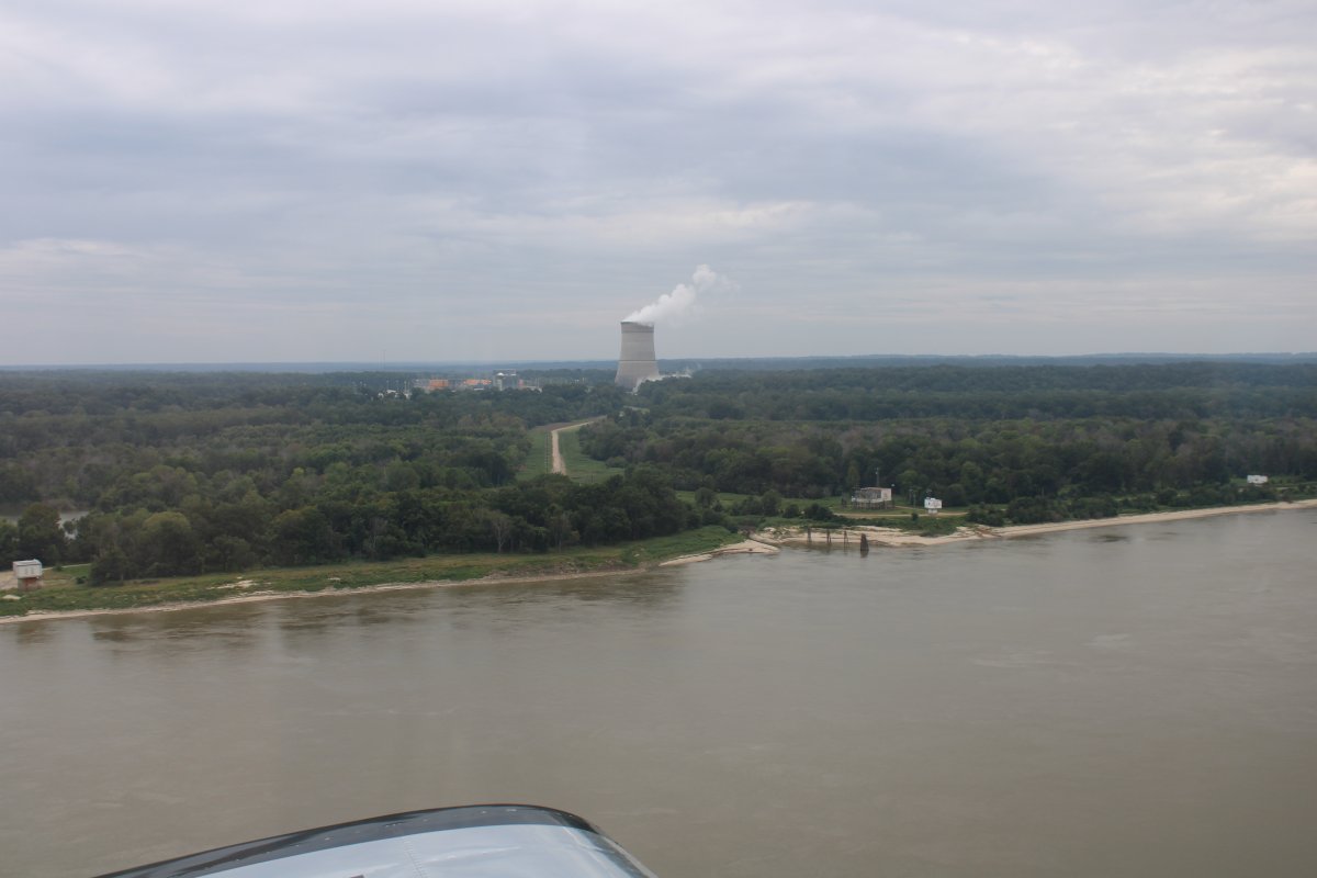
It was in this area, where the nuclear power plant now is, that Grant landed his troops, and marched northeast towards Jackson and Vicksburg.
|
| |
 |
|
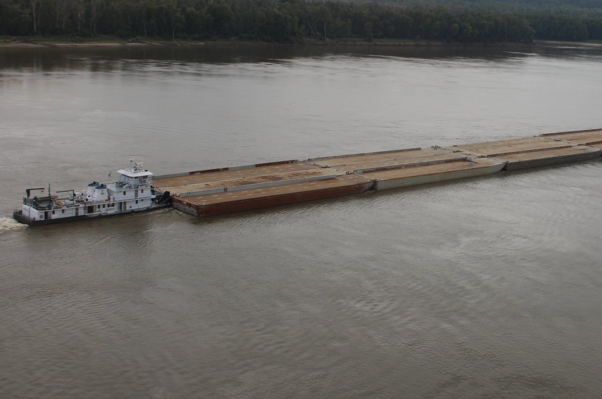
| Aircraft carrier on the river. I think you could land a STOL plane on this barge rig. |
| |
 |
|
|
|
| |
 |
|
|
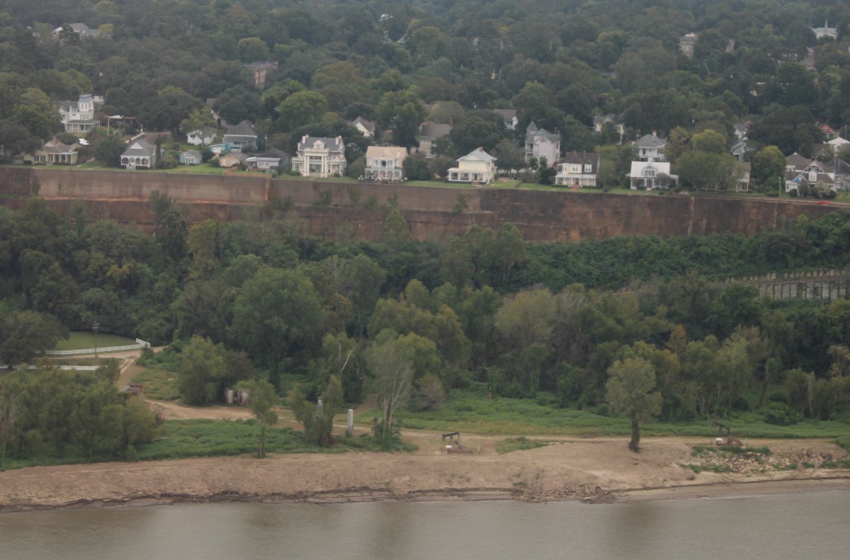
Stately mansions overlooking the river.
Natchez was a prominent city in the antebellum years, a center of cotton planters and Mississippi River trade.
|
| |
 |
|
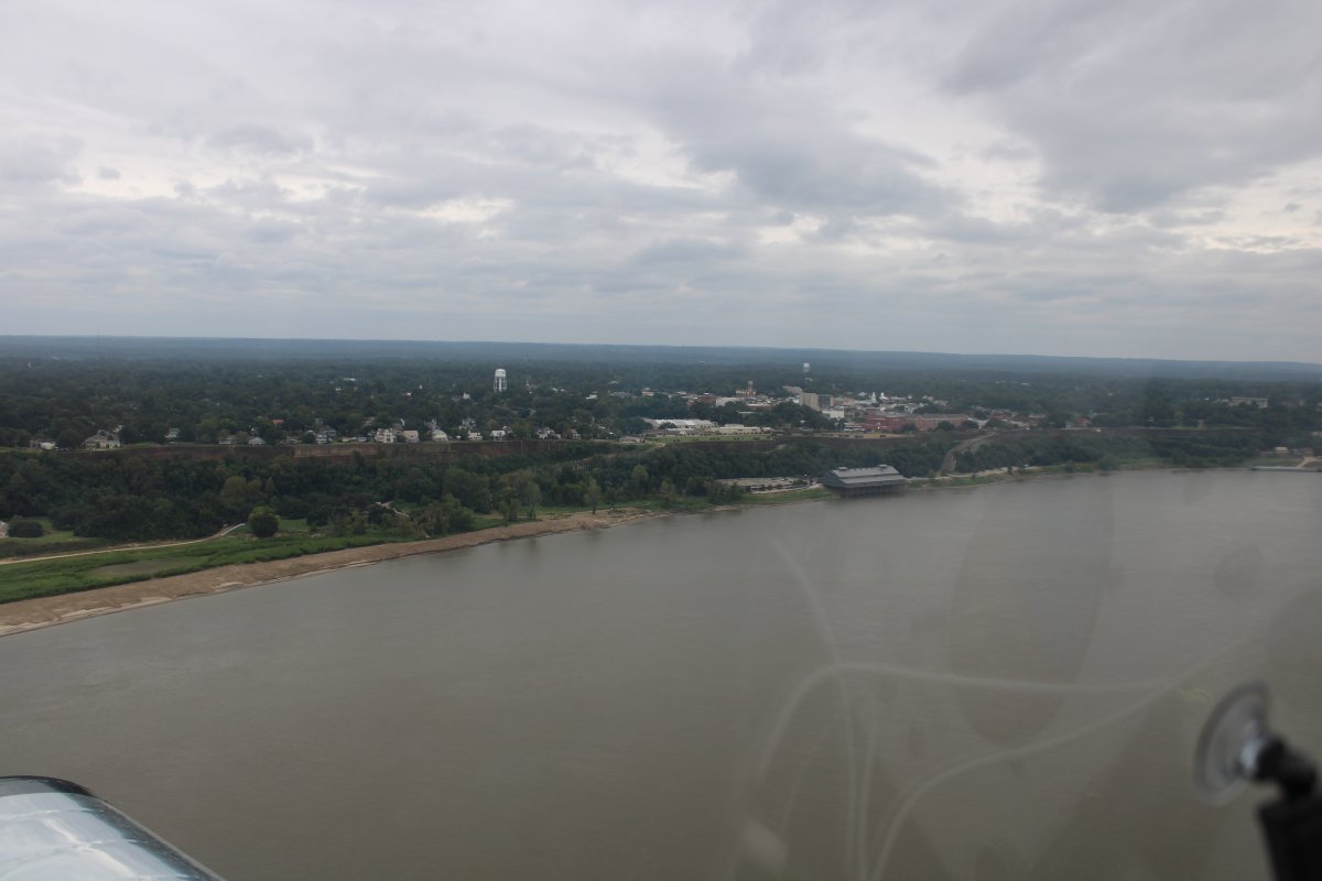
| Downtown Natchez. |
| |
 |
|
|
Looking to west at the town of Vidalia, Louisiana.
|
| |
 |
|
|
I knew that I would probably not be able to make it all the way to New Orleans today, which had rain, low ceilings and high winds. And it would be the same tomorrow. My plan was to go as far as I could on the river, then turn northeast, find a place to stay overnight, and head for home in the morning.
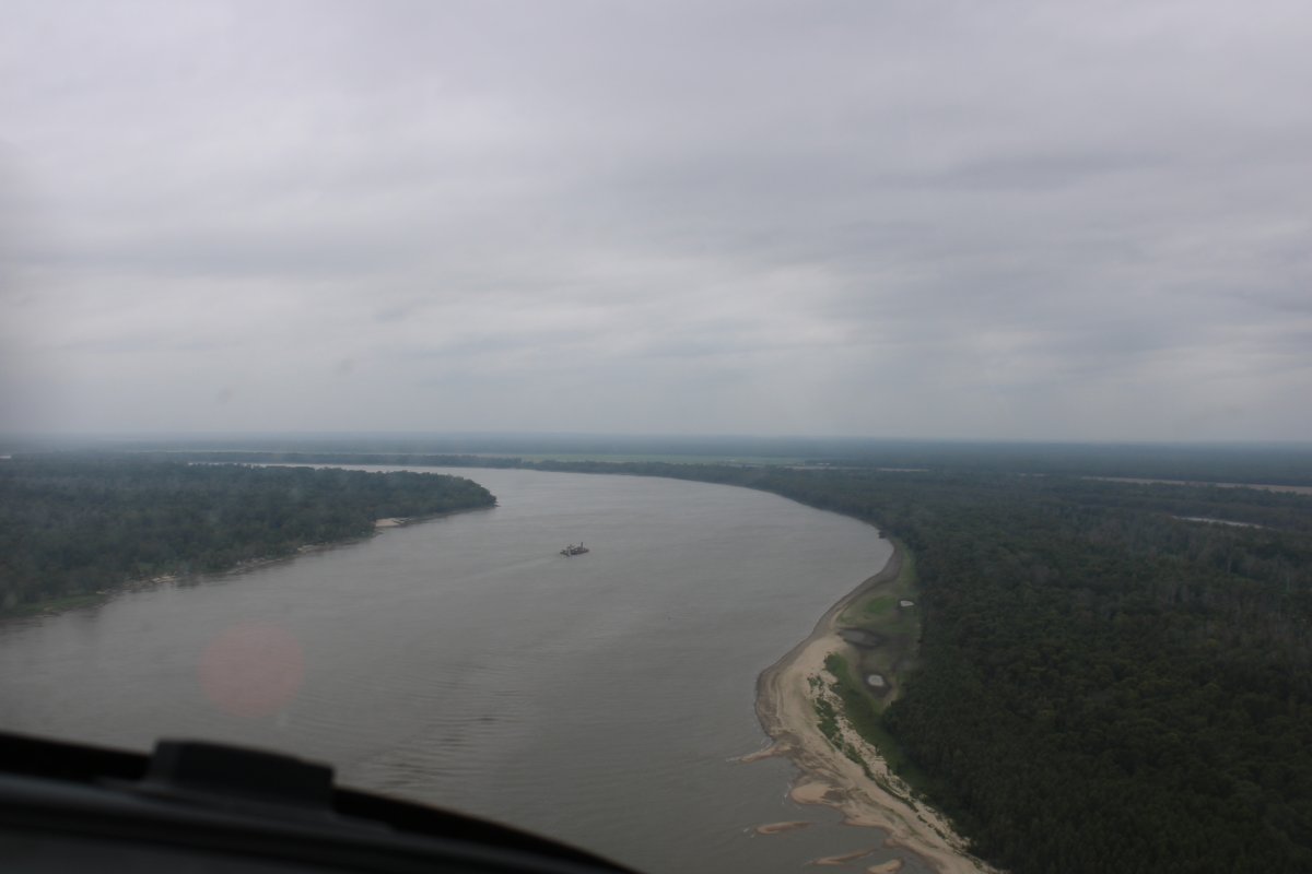
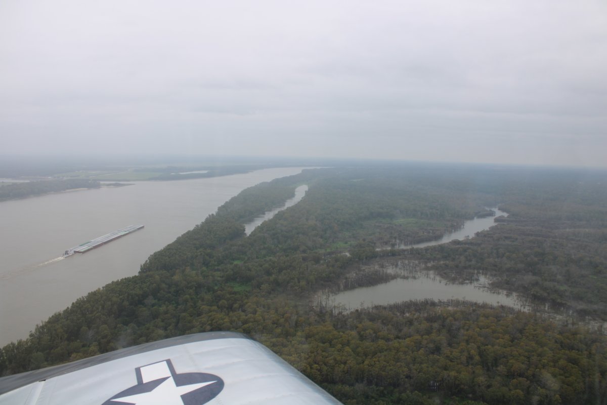
Continuing down the river. The ceiling is getting lower.
|
| |
 |
|
| |
|
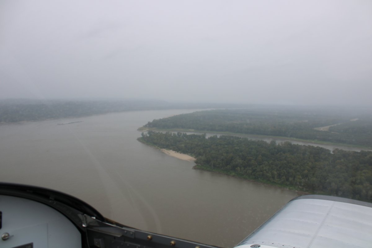
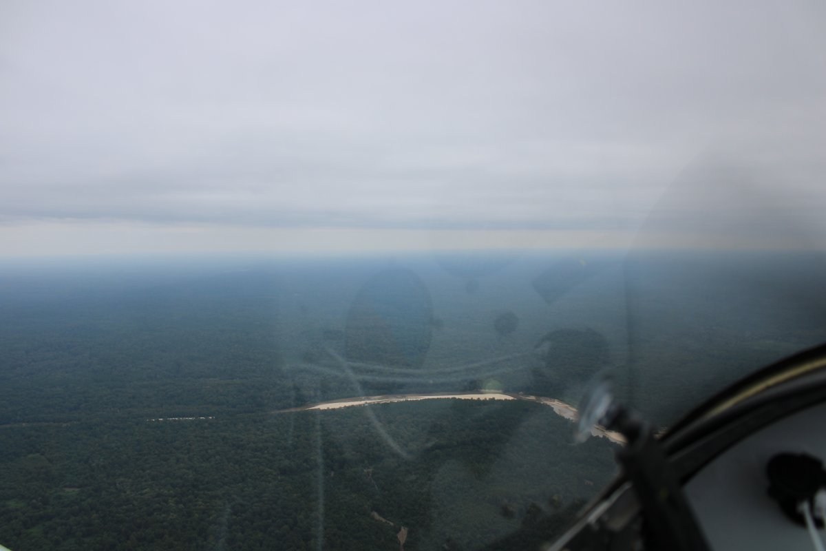
Rain and low visibility ahead. This is as far as I go.
|
| |
 |
|
|
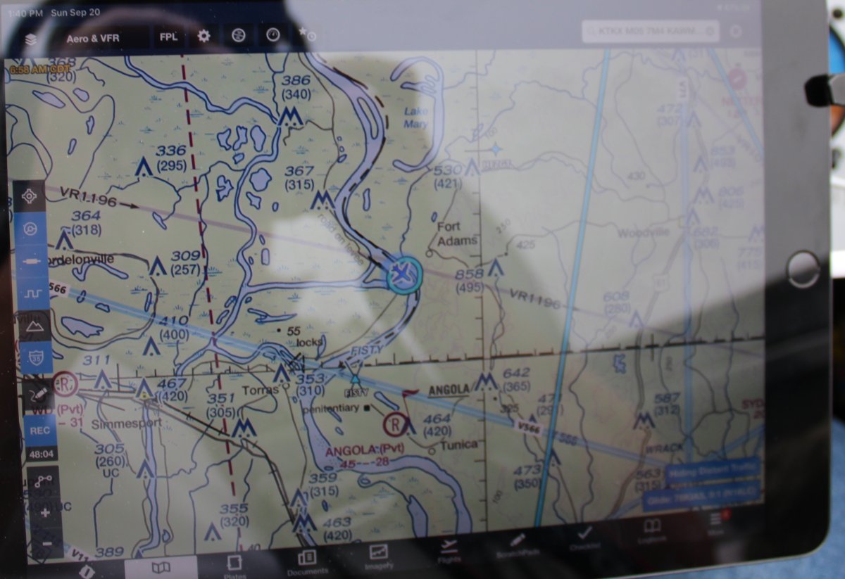
This is about where I stopped, close to the Mississippi - Louisiana border.
|
| |
 |
|
| Turning northeast. |
| |
 |
|
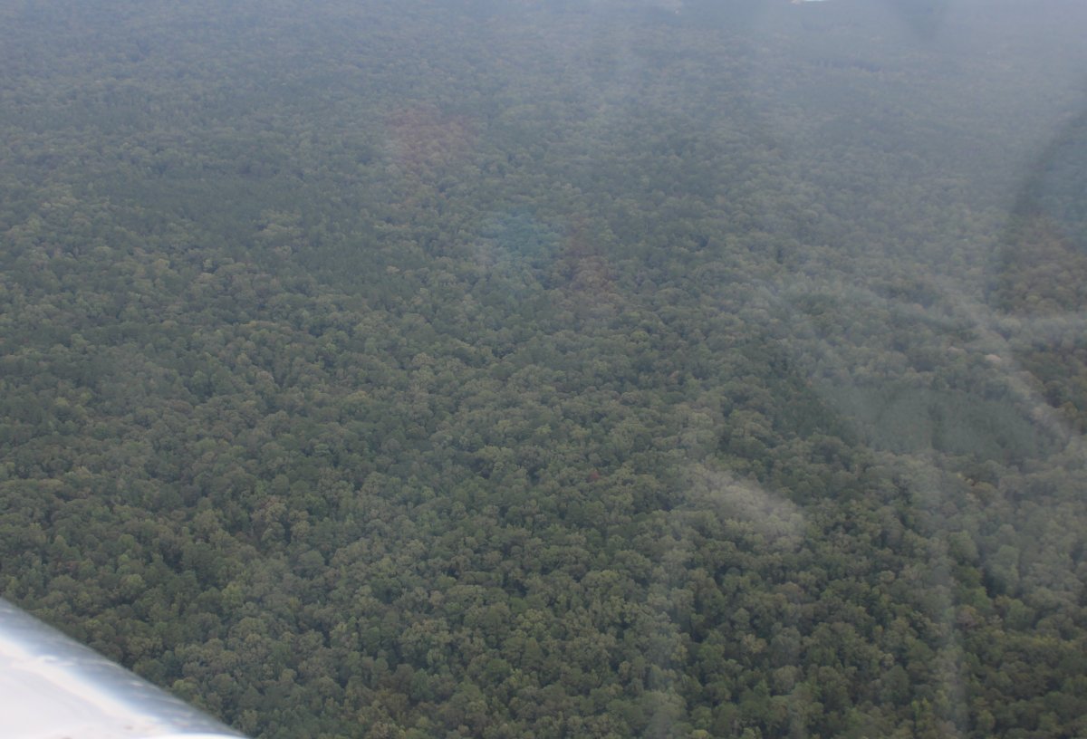
| Flying over a sea of trees. |
| |
 |
|
| |
| |
 |
|
|
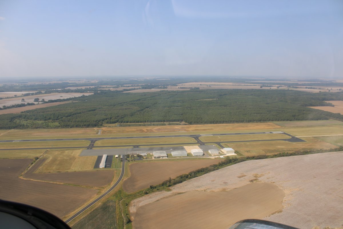
I headed for Copiah County Airport (M11) -- in between the towns of Chrystal Springs and Hazelhurst, Mississippi -- which had a low avgas price and supposedly a courtesy car.
|
| |
 |
|
|
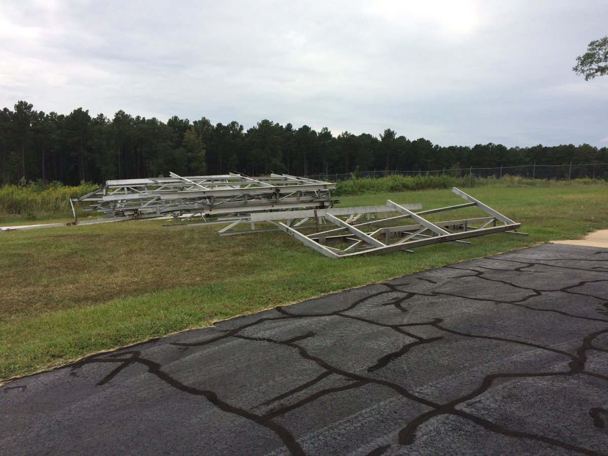
A big hangar missing its hangar door at Copiah County.
|
| |
 |
|
|
There is the remnants of the hangar door.
I talked with a couple of friendly airport regulars who advised me to fly south a few miles and stay overnight at Brookhaven. The FBO office here was locked up so I couldn't get the keys to the courtesy car anyways.
|
| |
 |
|
|
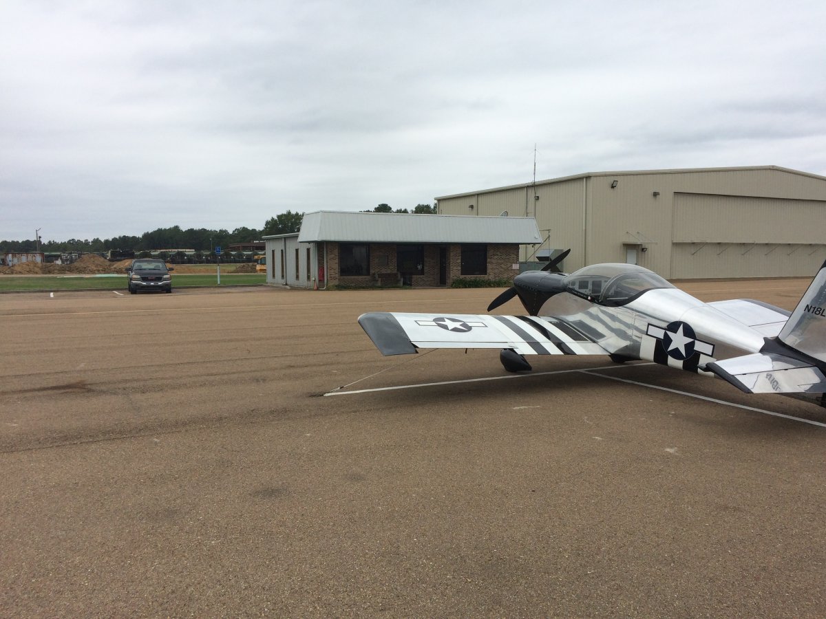
I made the short flight to Brookhaven-Lincoln County Airport (1R7) in Brookhaven, Mississippi. Although unattended, the FBO office was open and the courtesy car keys clearly marked. Also, they had tie-down ropes with carabiners at the end, designed to clip onto chains on the tie-down rings. Very convenient! I talked to a couple of regulars -- everyone is friendly down here in the south. Virtually everyone I talked to at the airports asked me if I needed anything.
I drove into town, checked into a motel and had a nice dinner at Cracker Barrell.
|
| |
 |
|
| |
| |
| |
|
|
|
|
|
|